The Lighthouse at Point Reyes
A wilderness peninsula 90 minutes from the city, famous for wind, fog, elk, and a lighthouse at the bottom of 308 steps.
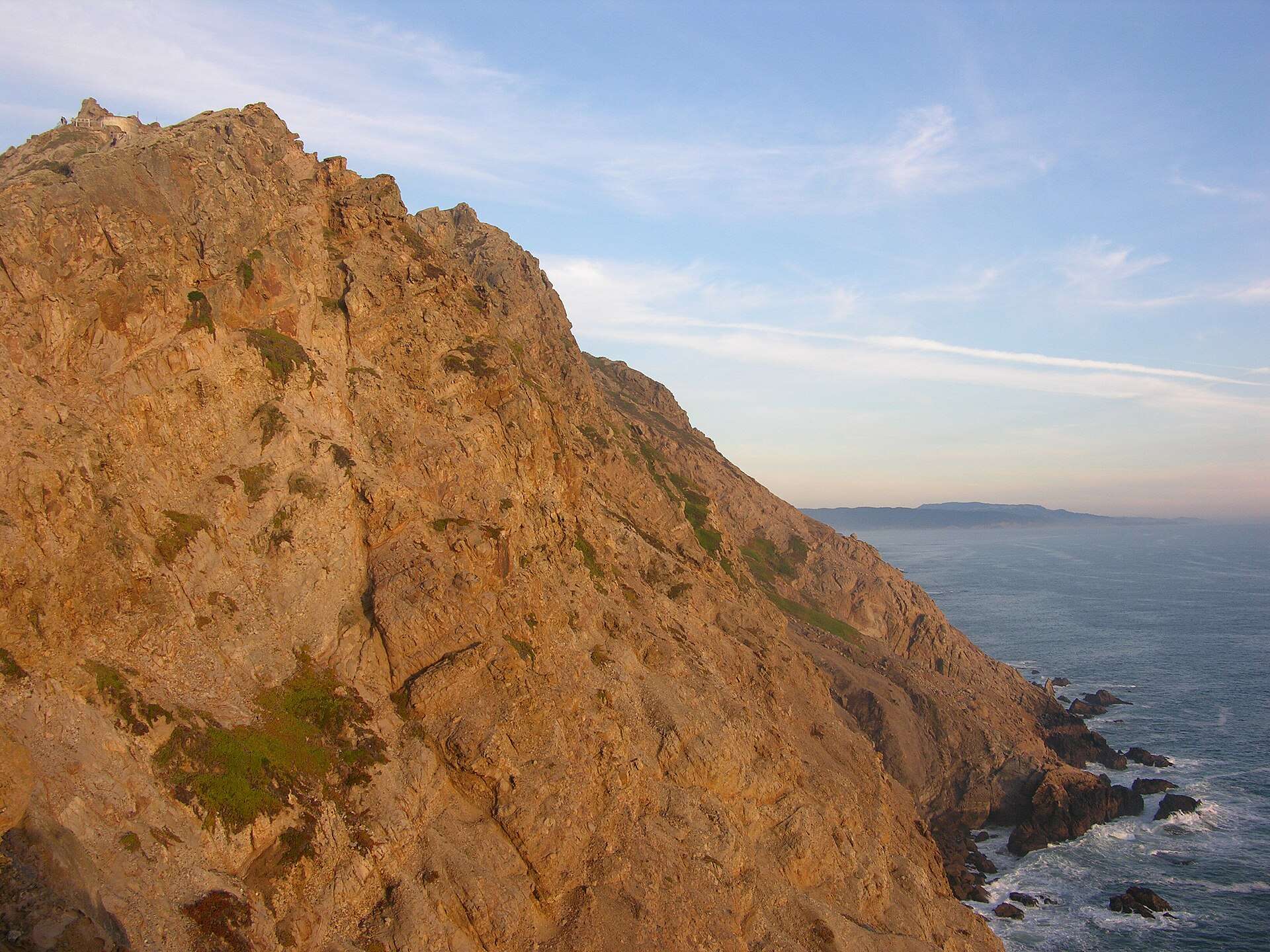
The short version
- There is no practical transit — this is a driving day. Ninety minutes over the Golden Gate through west Marin, and the peninsula’s roads are slow by design; details at nps.gov/pore.
- The lighthouse sits at the windiest, foggiest tip: a half-mile walk from the lot, then the 308 stairs down to the 1870 light. The visibility gamble is the whole bet.
- The Cypress tree tunnel — the arched lane from every feed — is a two-minute stop near the KPH radio station. Go early or share it.
- Tomales Point trail runs through the tule elk reserve: herds against the ocean, 9.5 miles round trip in full, worthwhile at any turnaround.
- Chimney Rock in winter: elephant seals hauled out by the hundreds, wildflowers by spring, whales offshore January to March.
- Point Reyes Station and its bakery-and-cheese economy handle lunch; the oyster farms along Tomales Bay handle the argument for staying longer.

Getting there
Cross the Golden Gate and follow Sir Francis Drake Boulevard west through the redwood towns — 90 minutes to Point Reyes Station on a good morning, and the peninsula roads beyond it add real time to every map estimate. Fill the tank and the water bottles in town; the seashore has neither. The lighthouse sits 45 minutes past the visitor center at the road’s end, which is the distance the fog gets to veto.
The day
On a clear forecast: straight to the far end first — lighthouse stairs, Chimney Rock in season — because clarity out there is the perishable good. Work back through the tree tunnel and a Tomales Point leg among the elk, then Point Reyes Station for the late lunch the bakery was built for. On a foggy forecast: invert it — Bear Valley’s trails and Limantour’s dunes hold their own in gray, and the light at the road’s end forgives nothing. The alarm’s morning check is the fork in the whole day.
When to go
September and October carry the clearest odds; the summer months carry the fog machine. January to March trades warmth for the peninsula’s best wildlife card — gray whales offshore, elephant seals at Chimney Rock — and the storm-gap days can be the finest of the year. Wildflower April and green May split the difference. In every season, wind at the point is a constant; bring the layer you think is excessive.
Frequently Asked Questions
Can I do Point Reyes without a car?
Not practically. Weekend-limited local buses exist deep in west Marin, but the peninsula’s distances make this a driving day, full stop.
Is the lighthouse always open?
The stairs close in high winds and the visitor hours are limited days — check nps.gov/pore before building the day on the descent. The headland view stands regardless.
Point Reyes or Muir Woods?
Different days: Muir Woods is a reserved-parking two-hour forest stop; Point Reyes is a full wild day. Doing both in one is doing both badly.
Where are the elk guaranteed?
Nothing is guaranteed, but the Tomales Point reserve holds the herds — even the first mile from Pierce Point Ranch usually delivers. Binoculars turn good into great.
Should I add Tomales Bay oysters?
If the schedule breathes, yes — the farms along the bay’s east shore are the region’s victory lap. Shuck-your-own requires a reservation most weekends.